Image2GPS
Python
PyTorch
ResNet
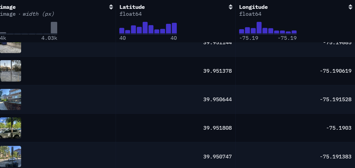
For our final project for CIS 5190, our team of 3 built a computer vision regression pipeline to predict GPS coordinates from campus images. Model performance was validated using Haversine distance to measure physical GPS prediction error. We started by collecting and preprocessing a custom dataset of 1,667 GPS-labeled images, converted it into a Hugging Face Dataset, and trained ResNet-based latitude/longitude regression models.
We used: normalized coordinate targets, Smooth L1 loss, AdamW, learning-rate scheduling, weight decay, and gradient clipping.
We were able to achieve 47.53m average prediction error and 9.19ms average inference time, outperforming the class average in both accuracy and speed.